Oct 18, 2009 -- Horn Lake, MS to Atlanta, GA

We arose to a sunny day and were in good spirits.  Today, we would arrive home.  We drove southeast on US 78 through Tupelo, MS, and crossed the Tennessee-Tombigbee Waterway (the "Tenn-Tom"):


About 15 miles further, we crossed into Alabama.  Had to get the obligatory picture of the sign:


The countryside told us we were nearing home.  We were in the low foothills of the Appalachian Mountains:


We drove through Birmingham, AL, and were soon  in Georgia:


The Atlanta skyline was a welcome sight.  It was about 5:30 pm:


It is interesting that as one approaches Atlanta on any of the six Interstate highways, there is a point where the city's skyline is visible on the horizon.  That's a piece of trivia for you.

We arrived home safe and sound, glad and yet sad to be there.  We had enjoyed a wonderful adventure doing what we love -- traveling by car and boat.  We figured our trip covered over 7000 miles and it took us 34 days.

Oct 17, 2009 -- Bentonville, AR to Horn Lake, MS

The original store of Sam Walton, founder of Wal-Mart is on the square in downtown Bentonville, AR.  It has been converted to a visitor's center and museum.  We decided it would be fun to go visit the facility.  This is what it looks like from outside:


The museum was very interesting, with newspaper clippings, photographs and aritfacts from "Mr. Sam's" life.  He was certainly an unusual man and quite an entrepreneur!  Visiting the museum was a lot of fun.

However, the road beckoned.  We headed out of town and soon were in the Ozark Mountains.  The fall colors were just starting to show and the soft-looking mountains were an interesting contrast to the Cascades and Rockies:


We knew we were back in the south because we saw pine trees, cotton growing and kudzu vines.  It seemed so much like home.

Later in the afternoon we arrived at the bridge over the Mississippi River.  Please forgive the quality of our picture, but we just had to get a picture:


We were now in Tennessee on the edge of Memphis:


We skirted south around Memphis, into Mississippi, and stopped at our motel in Horn Lake, MS, a suburb of Memphis.  This was planned to be our last night on the road.

Oct 16, 2009 -- Johnson, NE to Bentonville, AR

We awoke this morning to the smell of the wood-burning stove warming up the rooms downstairs.  It was fun to be in "the country."  Ruth made a breakfast of pancakes for everybody and we stuffed ourselves.  Once we could move again, we loaded our stuff back into the car.

After time for a few more pictures, we bid our gracious hosts, Joe and Marta, goodbye and headed east.  Our route took us through Joe and Marta's town, Johnson.  We didn't see much town, but this sign implies we were a half mile away from the hustle and bustle of downtown:


The first event of note for us today was crossing the Missouri River as we entered Missouri.  The bridge was under repair:


Actually, we crossed the Missouri River twice today.  This first crossing was well upstream on the river, so it didn't seem very big here:


We began to notice a significant increase in people and traffic now.

Our course today took us southward through St. Joseph and Kansas City in Missouri.  The weather prediction was for more "wintry" weather to push down the eastern midwest, so we decided to turn south and go down US 71 into Arkansas.  It would allow us to go through the Ozark Mountains and avoid any freezing weather.

When we arrived at the Arkansas border, it was all Ruth could do to capture the sign:


We made a reservation for a motel in Bentonville, AR, home of Wal-Mart.  While it had not been a really long day, it was a good place to stop for the night.

Oct 15, 2009 -- Kearney, NE to Johnson, NE

Well, the motel we stayed in last night turned out to be the "lowlight" of our month-ling trip.  It seemed like everything in the room was broken -- TV, air conditioner, bathroom sink, etc.  To make matters worse, it sounded like a 400 pound guy with boots on the floor above us, stomping around the room all night.

However, we had been looking forward to today because we had made plans to stay with friends Ruth had met years ago at a dowsing convention, and had kept in touch with since.  They live on a farm near Johnson, NE, in the southeast corner of the state.  They are Joe and Marta Smith.

We left Kearney and stopped in Lincoln to get some provisions.  Then headed southeast, away from the big city and the interstate.  We traveled on two-lane state and county roads for the rest of the day.  Ruth noted we were seeing signs one only sees on two-lane roads.  This one says, "NO PASSING ZONE:"


We had traveled back into territory that had trees, and the terrain was rolling hills:


Before long, we turned onto Joe and Marta's street, "730 Road."  It is what is called an "all weather road:"


We arrived at Joe and Marta's home and got a great welcome from them, their Cocker Spaniel, Sugar, and their "20-or-so cats."  This is their home, which has had various rooms added since it was first constructed in the 1800s:


Once the car was unloaded, Joe took us on a tour of his workshop.  It is in his barn and is very extensive, covering three different rooms.  Joe is very skilled at making things:


After the tour, which included a look at a tractor Joe had built and many other projects, Ruth took Marta to look at a field that had a crop in it we didn't recognize.  It turned out to be soy beans -- a very common  crop in this area.  The fact they were brown and still on the plant threw us, more evidence of the earlier snows.

Marta cooked a delightful supper for us all -- pork roast, baked potatoes, green beans and stewed apples.  It was the best meal we had had since leaving home weeks ago, and the only home cooked one.  Delicious!

We had to have a picture of this very generous couple.  They are a lot of fun:


Bedtime came fairly early for us, sort of in keeping with being on a farm....

Oct 14, 2009 -- Rawlins, WY to Kearney, NE

We awoke to a steady rain and temperature of 47 degrees.  It was dreary out, but we managed to get the car loaded and get underway.  This is what the day looked like:


The wind was very strong from the south, blowing the spray from cars and trucks into the passing lane.  It was hard to see to pass.  Look closely to see the misty spray on the left of the truck ahead:


We gained a little elevation, and lost a little temperature, and now it looked like this:


We had traveled over 9.000 miles since we had the oil changed in the car, so we stopped at the Toyota dealer in Cheyenne, WY, to have it done.  We could tell the snow storm from a few days back had hit here as well.  This was in the parking lot:


Although the rain had stopped, the wind was still blowing hard.  There were almost whitecaps on the 1/2 inch deep puddle in the dealer's parking lot:


Once we got our car back, we headed east out of Cheyenne and as we got on I-80 we spotted a herd of Pronghorn Antelope.  We had seen them off and on several times.  This is the part of the country "...where the deer and the antelope play...."  But, we continued on and soon arrived at the Nebraska line:


It had warmed up to 61 degrees, the sun was out and, since we had fresh provisions we decided to stop for a picnic.  We stopped in the little town of Dix, NE, population 267.  The wind was still blowing hard, so we found an empty building and parked downwind of it for our picnic.  It was very pleasant.

We pushed on through the wind in Nebraska until we reached Kearney, pronounced "car-ney," we learned later.  This was to be our stopping place for the day.  Thank goodness we had left the rain behind.

Oct 13, 2009 -- Twin Falls, ID to Rawlins, WY

As we mentioned in yesterday's post, we wanted to go explore a bridge and "Geological Site" near the town of Twin Falls that we drove over in the dark last night.  We checked out of the motel and drove the 3 miles to the bridge.  It was very impressive -- long and high.  It was made even more impressive by the deep canyon of the Snake River in contrast to the flat plains in the area.  The bridge itself seemed an engineering marvel:


The Snake River valley was huge.  Note the relative size of the town buildings at the top of the left bank of the canyon:


The ground of this area was covered with lava beds and rocks.  Ruth even collected a sampling of lava rocks.

We continued eastward through high hills, 4,000-5,000 feet. Occasionally the hills collected into a sort of mountain range.  This one bore proof that it had snowed recently:


We thought it interesting that the rather strong wind was blowing "tumbleweeds" across the highway.  Here are the remains of one that rolled in front of us:


As we blew by, Ruth captured Utah's welcome sign.  In spite of the flat terrain, we were high.  The little green sign in the picture says, "ELEV 4513:"


As we neared the Salt Lake City area, the Wasatch Range of mountains began to loom closer and higher:


Since we were driving right by the Great Salt Lake, we had to stop and get a picture.  This was taken in a little park on the shore of the lake:


A little further south and the mountains again sported snow:


At Ogden, UT, the highway turned eastward through a gap in the mountain range.  The terrain seemed to change from igneous to sedimentary rock:


Shortly, we entered Wyoming:


And more windmills.  It always seemed windy in this part of the country:


We drove past large cliffs and buttes -- the geology revealing the area had been under water way long ago:


We were back in the high plains now.  We couldn't understand what made the traffic denser.  Maybe it was just the 30-mile range of view:


We were following I-80 again and went back over the unimpressive Continental Divide and on in to the town of Rawlins, WY, about half way across the state.  We stopped at a motel and learned we were sharing it with a large team of geological surveyors looking for oil fields.  One of their vehicles was set up to travel the railroad tracks.  We had to get a picture:


There was a lot of sand all over the parking lots and streets.  We learned a strong storm had passed through a few days ago, dumping the season's first snow.  We were glad we missed it!

Tomorrow, the weather would turn sour for us....

Oct 12, 2009 -- Hood River, OR to Twin Falls, ID

We arose fairly early to a cool but pretty day.  It was 40 degrees, sunny and clear.  We headed up the Columbia River Gorge and began to see windmills again as we neared the eastern Washington plains across the river.  The highway, I-84 ran right beside the Columbia River.  Look closely to see the windmills:


Near Boardman, OR, the highway veered southeast away from the Columbia and we started seeing groves of the controversial Pacific Albus trees:


It was interesting to learn that we were traveling some of the roads protected by the Oregon Scenic Council, which got laws passed to protect 3,585 miles of highways for their scenic value.  The laws caused the removal of over 7000 signs and billboards that detracted from the beauty.  The resulting views are quite impressive:


One thing that we both noticed as unusual was the very long tractor-trailer trucks.  The tractors were pulling three trailers and made for a very long vehicle:


We passed the 45th Parallel, half way between the equator and the north pole, then crossed into the Mountain Time zone while still in Oregon -- the line makes a detour into Oregon for some reason:


Soon after, we entered Idaho and Passed through Boise, ID.  We were driving through low mountains and saw many "Chain Up Area" signs.  There was snow on the peaks of the mountains.  We were pleased to pass this truck hauling nothing other than real "Idaho Potatoes:"


We stopped for the night in Twin Falls, ID and did a little provisioning at the local grocery store.  Going there in the gathering dusk, we crossed a bridge that caught our attention and we decided to visit it again tomorrow.

Oct 11, 2009 -- Portland, OR to Hood River, OR

Since we had lived in the Portland area for five years (Nov, 1977- July, 1983) we decided to drive by our old house in Lake Oswego.  It had changed little -- only all the trees were bigger.  Here's the house:


We had a chance to meet the current owner as he prepared to run an errand.

Next, we drove through downtown and saw some of our old haunts.  It was fun.

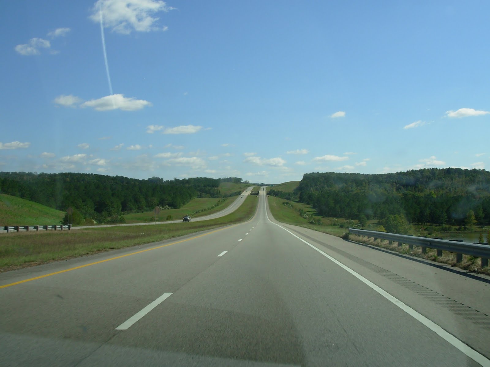
We headed east on I-84 up the Columbia George.  We wanted to go up Mount Hood.  We got a good look at it as we left Portland.  That's the Portland airport in the foreground:


There are many pretty views and attractions in the George.  One of them is Multnomah Falls, a total of 611 feet high (upper plus lower falls):


It had gotten windy and rather chilly, so we had a picnic in the car in the parking lot of the Falls.  Then onward to see more sights.  As we got closer to Mount Hood, it loomed larger:


We decided to take the winding road to Mount Hood Meadows, a favorite skiing Resort for folks in the area. They did have their snowplow guidepoles up:


Sadly, the gate at the ski area was closed because there had been very little snow:


We could vouch that there had been SOME snow:


It was really funny when we put the well known ski resort, Timberline Lodge, into our car's navigation system and it showed this very winding track to the Lodge:


So, off we went.  Here is the view as we approached Timberline Lodge.  Talk about tall POLES!:


Once we got to the timber line we had a wonderful view across the valleys below toward Mount Jefferson to the south:


We arrived at Timberline Lodge and went inside.  Bill immediately found a comfortable chair and had a seat.  He seemed to like the warmth of the huge "living room:"


Here is a look down at the huge circular fireplace in the main room.  It is a popular meeting point for guests and visitors alike:


The Lodge is very rustic and caters to all ages.  Here is the bar's lounge (on the upper level):


Looking out across the valley offered pretty hues of blue.  That's one of the night ski trails at the bottom of the picture:


Here is a picture of the outside of the Lodge.  The strange white structure is a vestibule to stop the wind and snow from blowing into the main entrance:


And, yes, there was some snow on the ground.  We got a bottle of it to take home:


It was getting late and we didn't have a reservation for a motel for the night, so we headed back down the mountain to the Town of Hood River next to the Columbia River.  We found a quaint spot for the night, the Vagabond Lodge, which was built decades ago and was "charming."